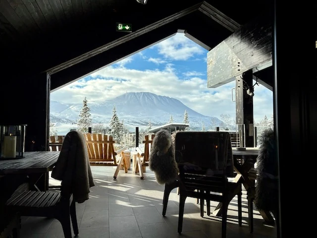
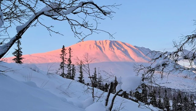
Gaustatoppen is one of the easiest mountains in southern Norway to recognise from a distance. Its long ridge rises to 1,883 metres above sea level, and because the surrounding terrain sits considerably lower, the mountain seems to stand on its own rather than disappear into a larger range.
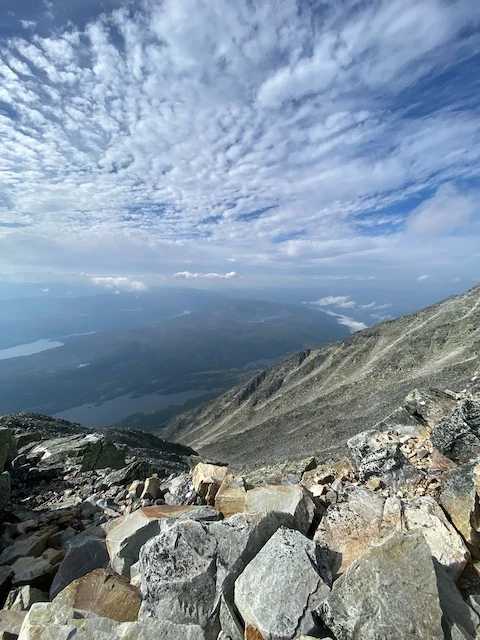
The usual route begins at Stavsro, already high above the forest. From there the path climbs steadily through increasingly bare terrain toward the ridge. The mountain looks relatively simple from below, but much of the upper route is stone, and wind, cloud and wet rock can change the character of the walk very quickly.
The walk from Stavsro
The standard summer hike is a substantial but straightforward mountain day for people used to walking. The path gains roughly 700 metres of elevation and the upper section is rocky enough that the descent can feel longer than the climb. In clear weather the route is obvious; in cloud, the mountain becomes much less forgiving.
Near the summit stands Gaustatoppen Turisthytte, where hikers have stopped for food, warmth and shelter for generations. The cabin gives the upper mountain a particular character: exposed and stony outside, but with a warm place to sit only a short distance from the ridge.
A railway hidden inside the mountain
Gaustabanen makes Gaustatoppen unusual. The railway runs inside the mountain and was originally built in the 1950s as part of a secret military installation. Visitors first travel horizontally into the mountain, then change to a steep funicular that climbs toward the upper station.
That creates several ways to shape the day. One person can hike while another takes the railway. A family can reach the high mountain without everyone committing to the full climb. Many visitors walk up and use Gaustabanen for the descent, keeping the experience of the approach while avoiding hours of downhill walking over stone.
Why the view feels so large
The summit view is famous because the mountain stands so clearly above much of the surrounding landscape. On exceptionally clear days, the visible area stretches across a remarkable part of southern Norway. More often, cloud and weather decide how much you see.
That uncertainty is part of the mountain. A completely clear horizon is memorable, but so is watching cloud pour across the ridge while lower valleys remain visible beneath it. The day is better when the mountain is allowed to set the pace.