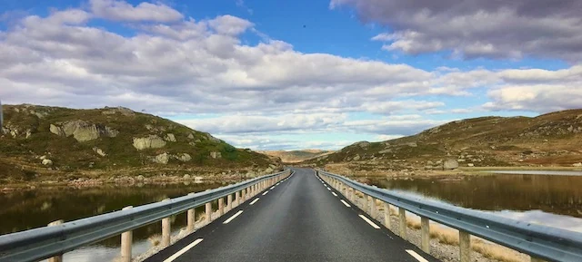
Hardangervidda is often described as Europe’s largest mountain plateau, but that does not quite explain what it feels like on the ground. It is not flat in the ordinary sense. Low ridges rise and fall across the landscape, rivers cut through shallow valleys and lakes fill the depressions between rock, heath and bog.
Rauland sits naturally on the southeastern side of this high-country landscape. From here, Møsvatn, Møsstrond and Mogen form a gradual route toward the wider plateau rather than a single dramatic gateway. The landscape simply opens further and further until roads, trees and buildings begin to fall away.
A landscape shaped by distance
What changes most is scale. Trees disappear. Buildings become rare. A lake that looks close may still be a long walk away because there is so little in the landscape to measure distance against. Weather can be seen moving toward you from far across the plateau.
The openness is not emptiness. Hardangervidda is one of the most important remaining landscapes for wild reindeer in Norway. The herds move over very large areas according to weather, food and disturbance, and they should never be treated as a sighting to chase. Their presence matters precisely because the plateau still gives them room to move on their own terms.
Water leads into the plateau
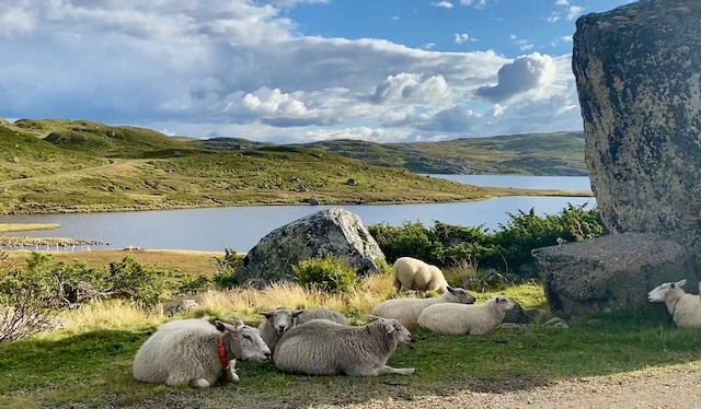
Water is everywhere. Streams spread through wet ground, rivers connect chains of lakes and larger bodies of water have long shaped routes through the high country. On the Rauland side, Møsvatn is part of that geography rather than just a lake beside it.
From Skinnarbu, the summer boat Fjellvåken crosses toward Mogen. The journey passes mountain farms and long stretches of shoreline before reaching one of the traditional starting points for walking deeper into Hardangervidda. It is a gentle way to experience the transition: settled mountain country first, then increasingly open terrain.
You do not need a summit
For a first visit, there is little reason to measure the day in kilometres. Walk for an hour and the essential character of the plateau is already there: low vegetation, exposed ground, running water, open sky and very little shelter from wind.
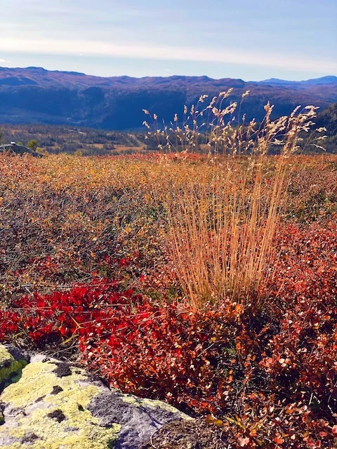
In summer, sheep graze over large areas and cloudberries ripen in wet ground. Small streams can be almost trivial in dry weather and much more serious after rain. By late August and September, the dwarf birch and heather begin to turn red, rust and gold.
Weather decides the shape of the day
Hardangervidda rewards flexible plans. A bright morning can disappear into cloud quickly, and the first snow can arrive while lower valleys still feel like autumn. A modest walk in good weather can be a better day than forcing a long route when visibility and wind have changed.
Some of the most memorable moments are quiet ones: eating lunch behind a rock out of the wind, watching rain cross a lake several kilometres away, or realising that the horizon has barely changed despite an hour of walking. The plateau does not need a single dramatic viewpoint to justify the day.